
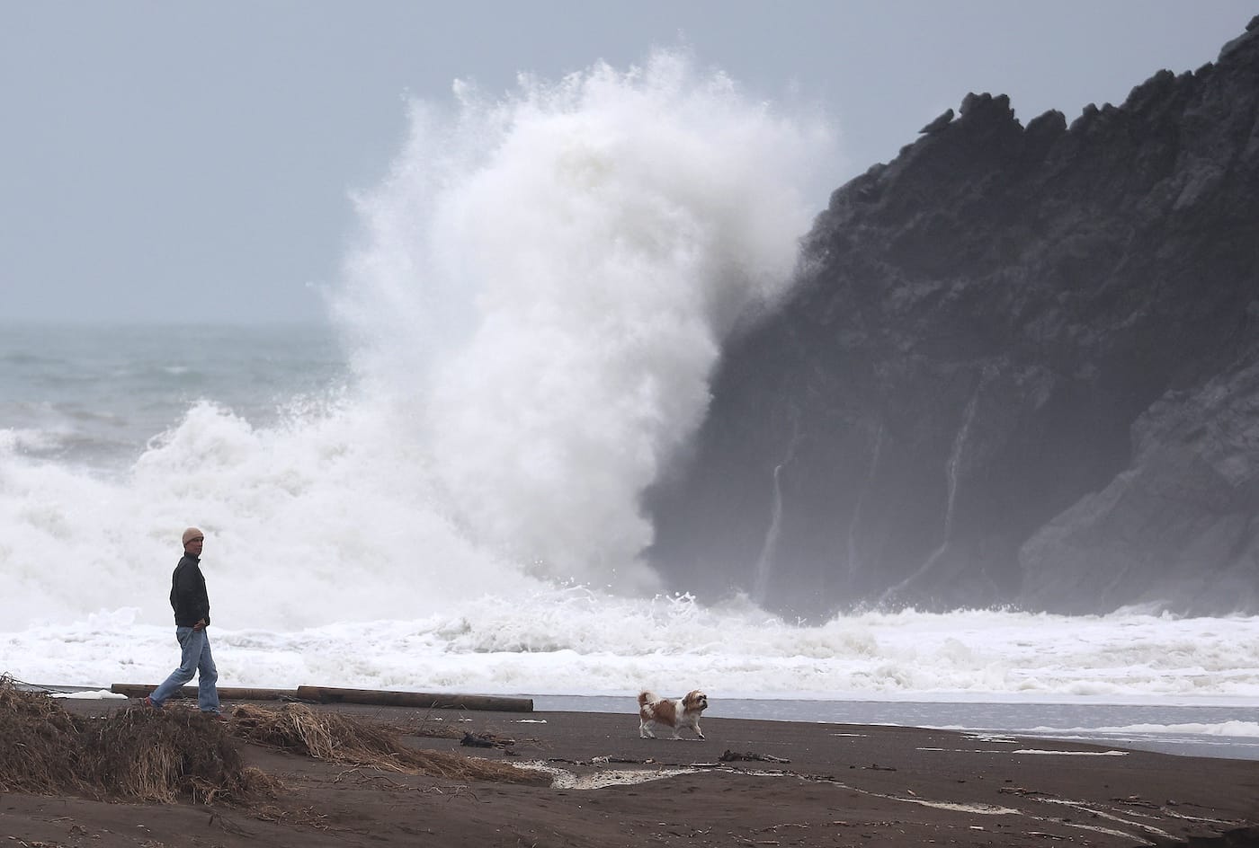
Residents in low-lying Bay Area communities are facing another round of coastal flooding, while beachgoers are being warned about dangerous surf, sneaker waves, and strong rip currents.
San Francisco is under a coastal flood advisory through next Friday, with high tides expected to bring up to 1.6 feet of flooding to low-lying shoreline areas, as KPIX reports. The National Weather Service has issued a Beach Hazards Statement through Monday evening for coastal areas from Sonoma to Monterey counties, including San Francisco, the Peninsula, Point Reyes National Seashore, Monterey Bay, and Big Sur.
Breaking waves of 12 to 16 feet are expected, along with an increased risk of sneaker waves and strong rip currents.
"Waves can sweep across the shoreline without warning, pulling people into the sea from beaches, jetties, and rocks," the weather service said.
Visitors are urged to stay out of the water and away from jetties, piers, rocks, and other waterside infrastructure. The agency also advises people never to turn their backs on the ocean.
A separate Coastal Flood Advisory warns that up to 1.6 feet of inundation above ground level is possible in low-lying areas near shorelines and tidal waterways. High tides could flood low-lying infrastructure, cause isolated road closures, and contribute to coastal erosion.
On the San Francisco coast, high tides are expected on Saturday and Sunday, with the highest tides occurring in the midmorning. The predictions include up to 1.5 feet of storm surge, which could further increase the flooding threat.
The flooding is occurring amid the developing "super" El Niño, which is contributing to higher water levels along the California coast. A combination of unusually high astronomical tides, warmer ocean temperatures, and El Niño-related Kelvin waves has pushed water levels above normal.
As SFist reported in May, this year's El Niño could become one of the strongest cycles in 140 years. San Francisco could experience anywhere from 10 to 30 unusually high tides between late November and January.
High tides have already caused significant flooding in several Bay Area communities, prompting a coastal flood advisory from Mill Valley to the Embarcadero in San Francisco and down to Palo Alto. Floodwaters closed roads, stranded drivers, and submerged backyards, with low-lying communities across the California coast also experiencing unusually high water levels.
SF Mayor Daniel Lurie declared a local emergency last month, and Highway 37, which links Marin, Sonoma, Napa, and Solano counties, underwent emergency upgrades as part of the state's El Niño emergency preparations.
According to NOAA, several locations along the California coast experienced record-high water levels between October 24 and 30, with four locations reaching their highest readings on record. NOAA also reported that SF's average sea level in October was substantially above its predicted level.
King tides are expected to peak between November and February, with the highest arriving between Thanksgiving and Christmas and another peak around January 21.
Related: El Niño Flooding Could Inundate SFO, the Bay Bridge Toll Plaza, and More


